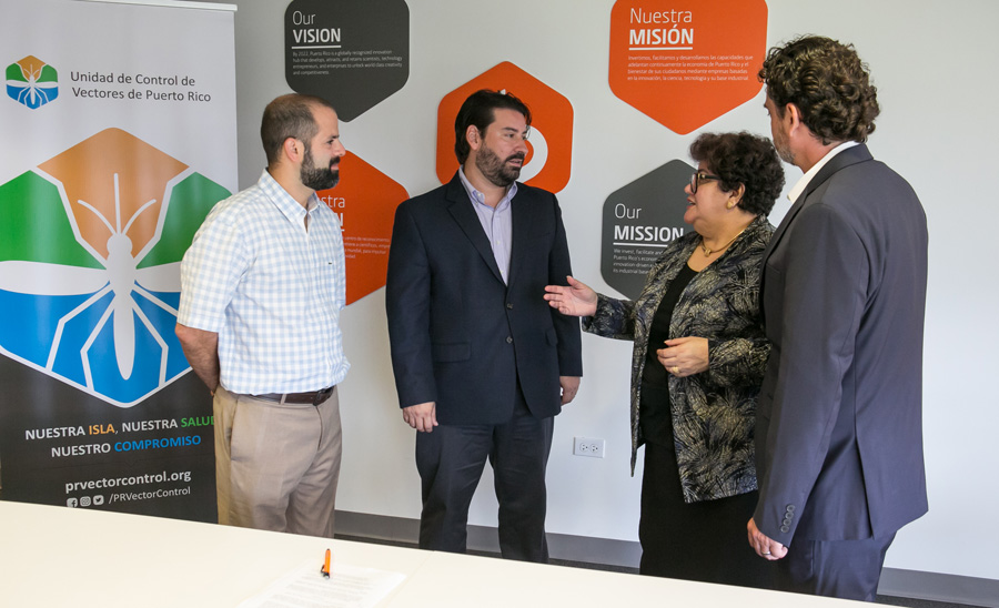
Science Trust earns Esri award for dengue response GIS innovation
The Puerto Rico Science, Technology & Research Trust has received the 2025 Special Achievement in GIS (SAG) Award from Esri for its use of geospatial technology in dengue control.
The recognition highlights the Puerto Rico Vector Control Unit’s (PRVCU) application of GIS tools to monitor, prevent and respond to outbreaks, the nonprofit said.
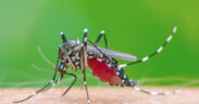
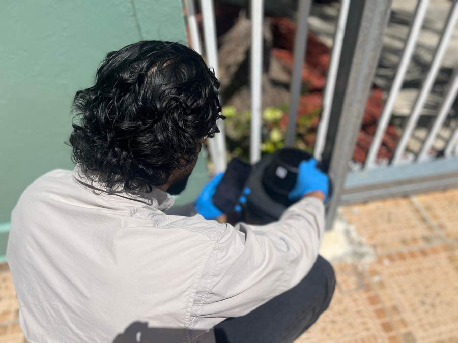
Out of more than 700,000 Esri users worldwide, the Science Trust was one of 197 awardees this year. It was recognized for PRVCU’s use of ArcGIS Pro, ArcGIS Workforce, ArcGIS Field Maps, ArcGIS Online and Survey123 to collect field data on the Aedes aegypti mosquito.
“This award is the result of PRVCU’s vision and the work of its team to protect lives through science and data,” said César Piovanetti, the Science Trust’s chief information officer.
PRVCU Executive Director Grayson Brown said the recognition “belongs to the entire team that worked every day to turn complex data into actionable items and science-based, smarter decisions.”
The project, in collaboration with the Puerto Rico Department of Health and the Centers for Disease Control and Prevention, integrated entomological, epidemiological and community data to guide targeted interventions during the island’s most severe dengue season in more than a decade.
“This recognition reinforces our mission to serve as a catalyst for innovation in Puerto Rico,” said Science Trust CEO Lucy Crespo.
This is the second Esri SAG Award for the Science Trust and PRVCU, following their first in 2018.